Drag a label to move it. Drag the map to pan. Checkerboard = transparent background.
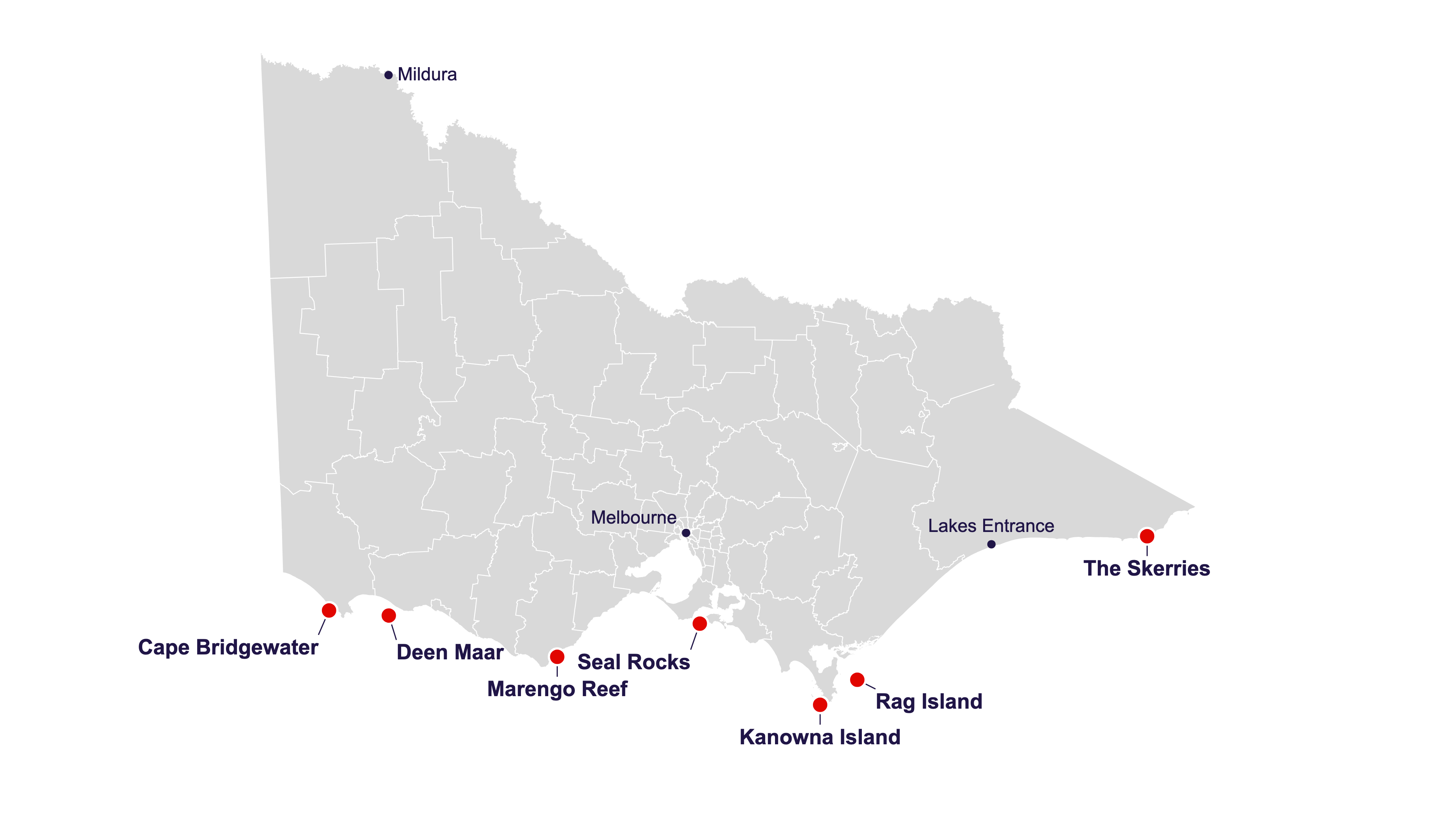
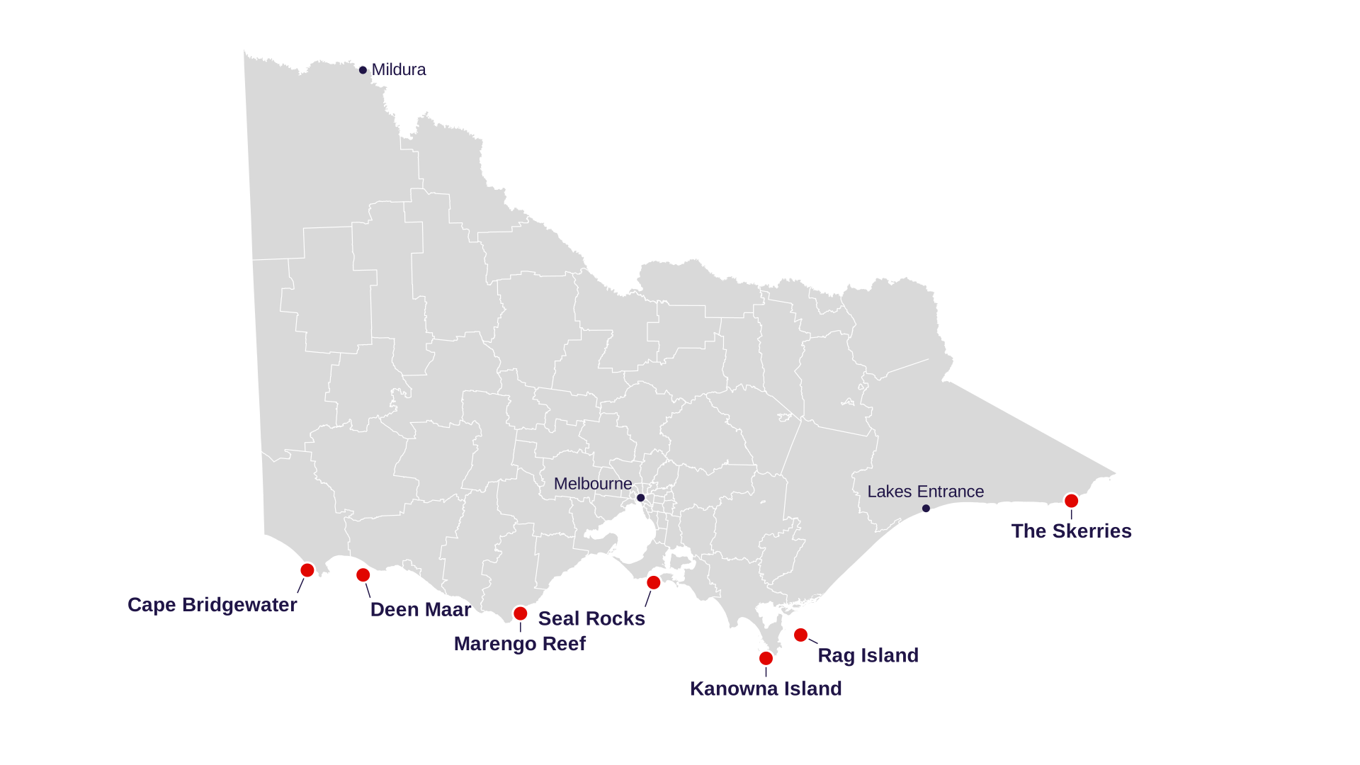
A slide graphic of Victoria's seal colonies, drawn from official ABS boundary data in VicGrid, Victoria's standard map projection. You can download it as it is or customise it first. Drag labels to move them, and drag the map to reposition it.
Drag a label to move it. Drag the map to pan. Checkerboard = transparent background.